Renouée
Renouée
Renouée
Renouée
Renouée
Renouée
Renouée
Renouée
Renouée
Renouée
Renouée
Renouée
Renouée
Renouée

100 m
500 ft
Map tiles by CartoDB, under CC BY 3.0. map data © OpenStreetMap contributors under ODbL — Données OpenStreetMap — Open caption — ホーム — Powered by uMap
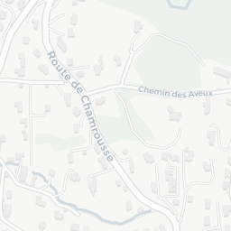
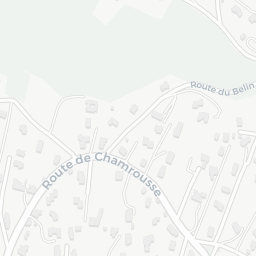
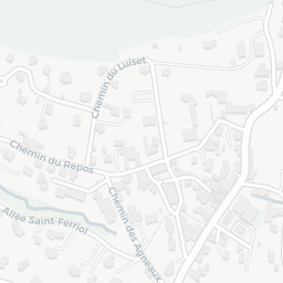
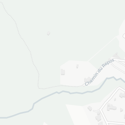
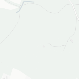
Renouée du Japon à Saint-Martin-d'Uriage (TEST)
created at 3/23/2023 - modified at 3/23/2023
Démonstration de l'utilisation de umap pour visualiser les zones d'implantation de la renouée du Japon à Saint-Martin-d'Uriage.
Données OpenStreetMap recueillies par Nolwenn et Roland.
Renouée Zones d'implantation de la renouée du Japon
Limite Saint-Martin-d'Uriage